


Cyclonic storm Biparjoy intensifies, lies at a distance of 560km south of Karachi
KARACHI (92 News) - The extremely severe cyclonic storm Biparjoy has moved further northward during last 12 hours and now lies at a distance of about 560km south of Karachi, 580km south of Thatta and 710km southeast of Ormara.
According to the Met Office, maximum sustained surface winds are 160-180 km/hour gusts 200 km/hour around the system center and sea conditions being phenomenal around the system canter with maximum wave height 35-40 feet. The favourable environmental conditions (sea surface temperature of 30-31°C, low vertical wind shear and upper-level divergence) are supporting the system to maintain its severity.
Under the existing upper-level steering winds, the cyclone is most likely to track further northward until 14 June morning, then re-curve northeastward and cross between Keti Bandar (Southeast Sindh) and Indian Gujarat coast on June 15 afternoon as a Very Severe Cyclonic Storm (VSCS).
PMD’s cyclone warning center, Karachi is continuously monitoring the system and will issue update accordingly.
Possible Impacts:
- With its probable approach to the southeast Sindh coast, widespread wind-dust/thunderstorm rain with some very heavy/extremely heavy falls accompanied with squally winds of 80-100Km/hour gusting 120km/hour likely in Thatta, Sujawal, Badin, Tharparker, Mirpurkhas and Umerkot districts during June 13 to 17.
- Dust/thunderstorm-rain with few heavy falls and accompanied with squally winds of 60-80 Km/hour likely in Karachi, Hyderabad, Tando Muhammad Khan, Tando Allayar,, Shaheed Benazirabad and Sanghar districts from June 14 to 16.
- Squally (high intensity) winds may cause damage to loose and vulnerable structures (Kutcha houses), including solar panels, etc.
- Storm surge of 3-3.5 meters (8-12 feet) expected at the land falling point (Keti Bandar and around) which can inundate the low-lying settlements.
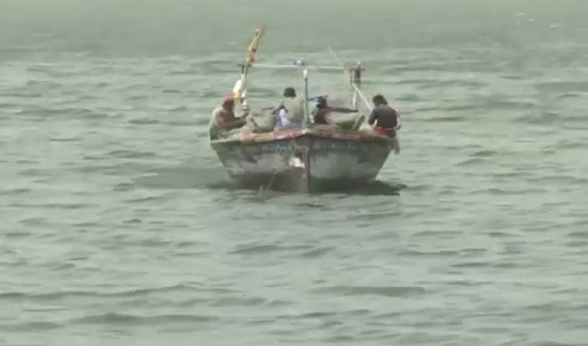
- Fishermen are advised not to venture in open sea till the system is over by June 17, as the Arabian Sea conditions may get very rough/high accompanied with high tides along coast.


